Monitoring of recreational nautical traffic in the Pelagos Sanctuary: results and management perspectives
Monitoring of recreational nautical traffic in the Pelagos Sanctuary: results and management perspectives
The growth of recreational boating traffic in the Sanctuary is generating increasingly significant pressures on the marine ecosystem. Indeed, pleasure craft, although smaller than commercial vessels, contribute to underwater noise, increase the risk of collisions, and interfere with the natural behaviors of sensitive species such as fin whales, striped dolphins, and bottlenose dolphins. For this reason, the Pelagos Agreement has launched an innovative research project to address the issue.
Entrusted to a team of experts from the European Topic Center at the University of Malaga — Maria del Mar Otero, Barbara Bauer, Antonio Sánchez, and Mario Pacheco — the project aims to:
- map the monthly distribution of recreational maritime traffic in the small ports and marinas of the Sanctuary;
- create an interactive map of existing mitigation and control measures;
- promote good practices for sustainable commercial and recreational boating.

Location of ports and mooring points with a certain capacity (berths/moorings) and moorings (including berths) per km of coastline for NUTS3 administrative units.
How the study was conducted
The research activity was based on an integrated approach. A multilingual questionnaire was prepared and sent to 194 ports and marinas in the Sanctuary to collect data on mooring capacity, types of vessels, seasonality, environmental services, and awareness initiatives. The responses, although limited to thirteen ports, were supplemented with GIS analyses to visualize port distribution and capacity — as well as environmental certifications and adherence to the Pelagos Partnership Charter — and with EMODnet datasets based on the AIS (Automatic Identification System), which allow estimation of nautical traffic density and highlight its spatial and temporal distribution.

Location of ports that have adopted the Pelagos Partnership Charter.
First results
The analysis identified 257 tourist ports, with a total capacity of 90,965 berths, with particularly high concentrations in areas such as the Var coast and the province of Pisa, where values exceed one hundred moorings per kilometer of coastline. The data also confirm marked seasonality: between the low season (November–April) and the mid-season (May–June and September–October), traffic increases on average by 58.5%, with a further rise during the summer peak. The most widespread units are motorboats under twelve meters, often without AIS and therefore excluded from official statistics, but capable of generating significant acoustic impacts.
The survey also documented the distribution of existing environmental initiatives. In several coastal areas, ports and marinas have joined the Pelagos Partnership Charter or obtained the Blue Flag, implementing waste separation services, collection points for waste oil and black water, and awareness programs targeting boaters. However, in some high-traffic areas, the adoption of protective measures remains limited.
Towards integrated management
The final report of the study proposes a series of actions to improve monitoring and management of the potential impacts of recreational boating, including:
- integrating AIS data with radar systems and high-resolution satellite imagery to detect vessels not equipped with transponders;
- implementing real-time alert systems to inform boaters when approaching sensitive areas;
- promoting low-noise propulsion technologies;
- organizing training campaigns to increase environmental awareness among seafarers.
The importance of investing in knowledge
The results confirm the need for a continuous monitoring system and a management strategy based on updated and integrated data. The goal is to ensure that the tourist and recreational use of the Sanctuary can coexist with the conservation of marine biodiversity, maintaining a balance between economic needs and the protection of a natural heritage of international value.
This work paves the way for detailed studies in particularly sensitive areas, such as the one already completed in the French Riviera with ToR4, where the same methodology was applied at a local scale to move from an overall snapshot to operational management guidelines.
LATEST NEWS

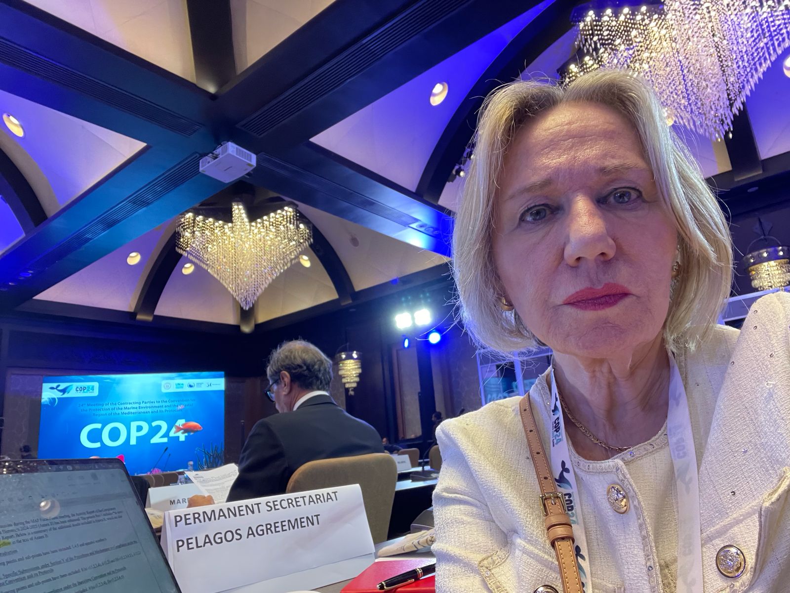
The Pelagos Secretariat is attending the COP24 to the Barcelona Convention
The Pelagos Secretariat is at COP24 to the Barcelona Convention in Cairo, Egypt. From 2–5 December, we’re bringing the Pelagos Agreement voice to side-events and plenary sessions.
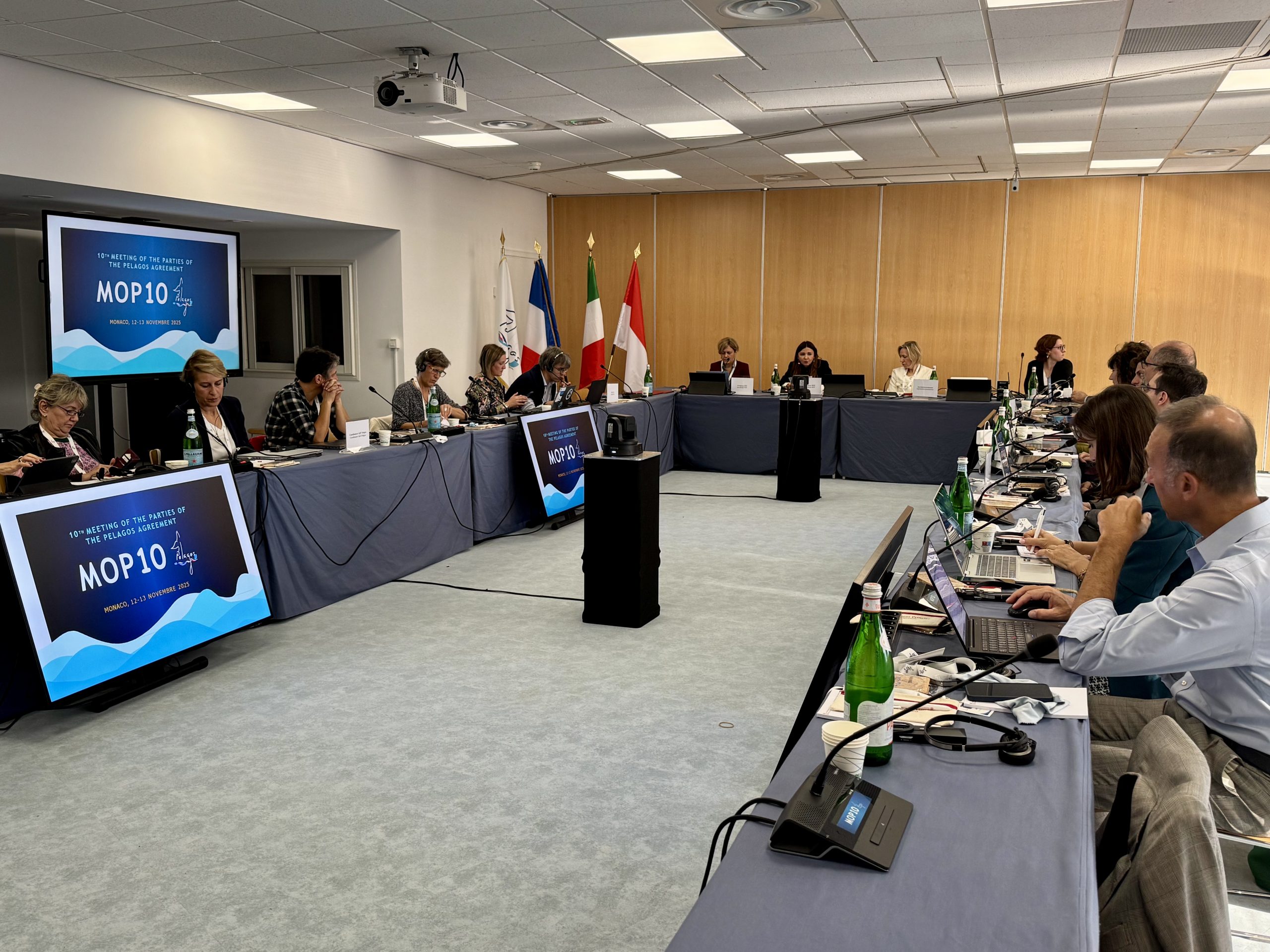
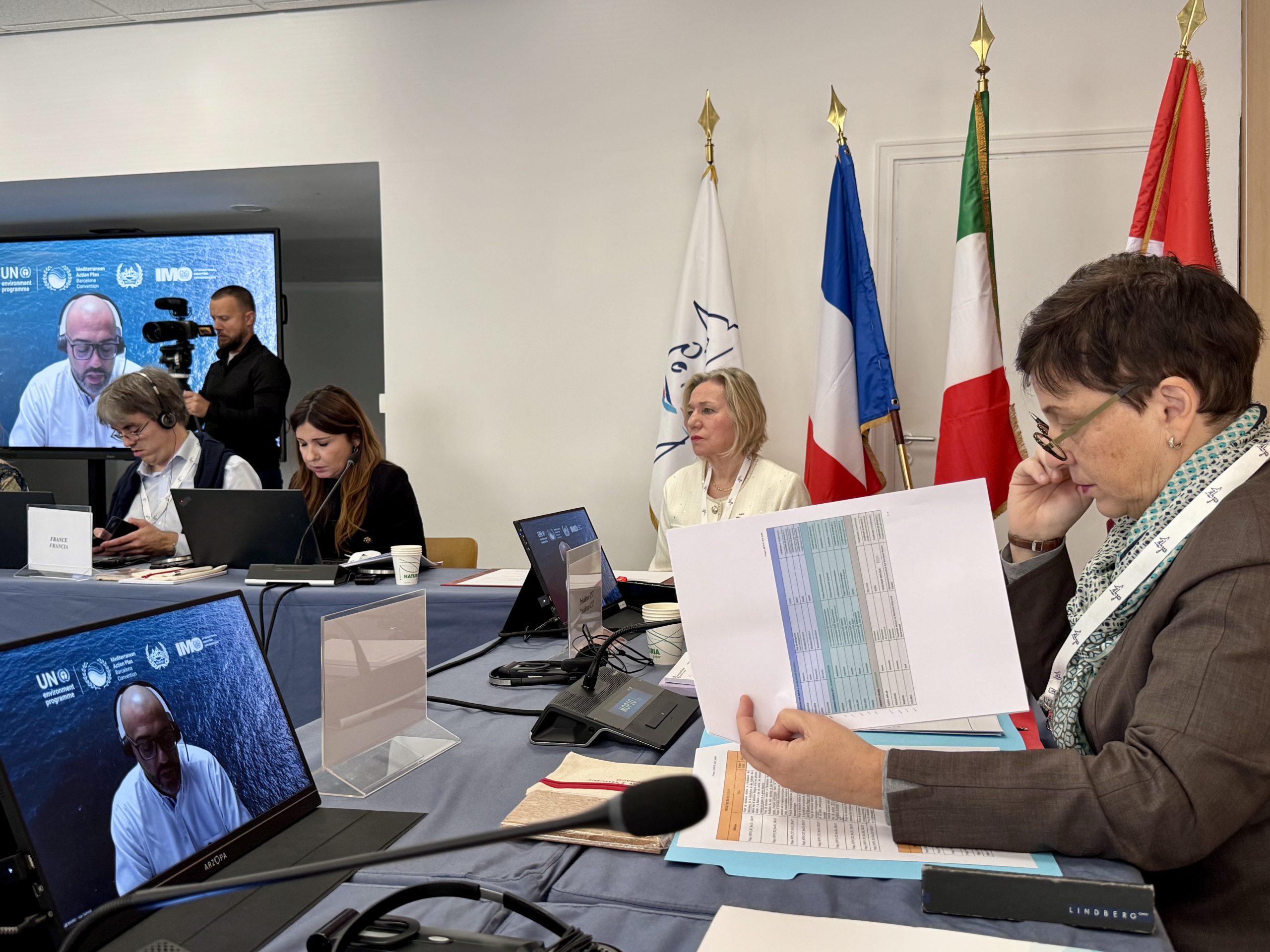
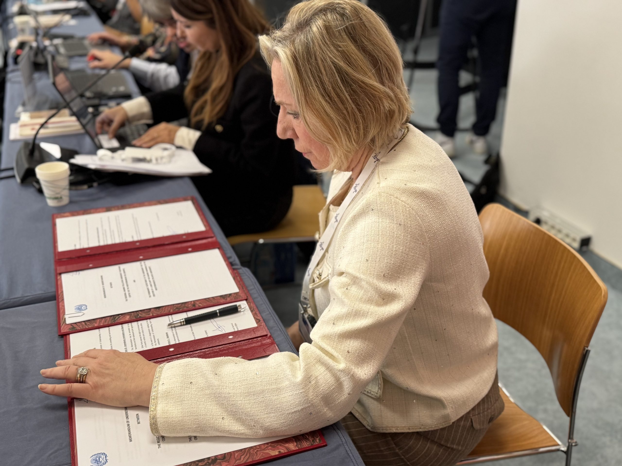
MOP10 – held in Monaco the 10th Meeting of the Parties to the Pelagos Agreement
On November 12 and 13, 2025, the 10th Meeting of the Parties to the Pelagos Agreement (MOP10) was held in Monaco, bringing together representatives of the three Member States (France, Italy, and the Principality of Monaco), as well as numerous partners, collaborators, and observers.

The Permanent Secretariat takes part in the Adapt-Pelagos workshop on sustainable cruising in the Pelagos Sanctuary
On September 16, 2025, at the Yacht Club of Monaco, the Permanent Secretariat took part in the meeting organized as part of the Adapt-Pelagos project, actively contributing to the thematic workshop dedicated to sustainable cruising and recreational boating in the Pelagos Sanctuary.
